


Bozeman Pass Zoning District
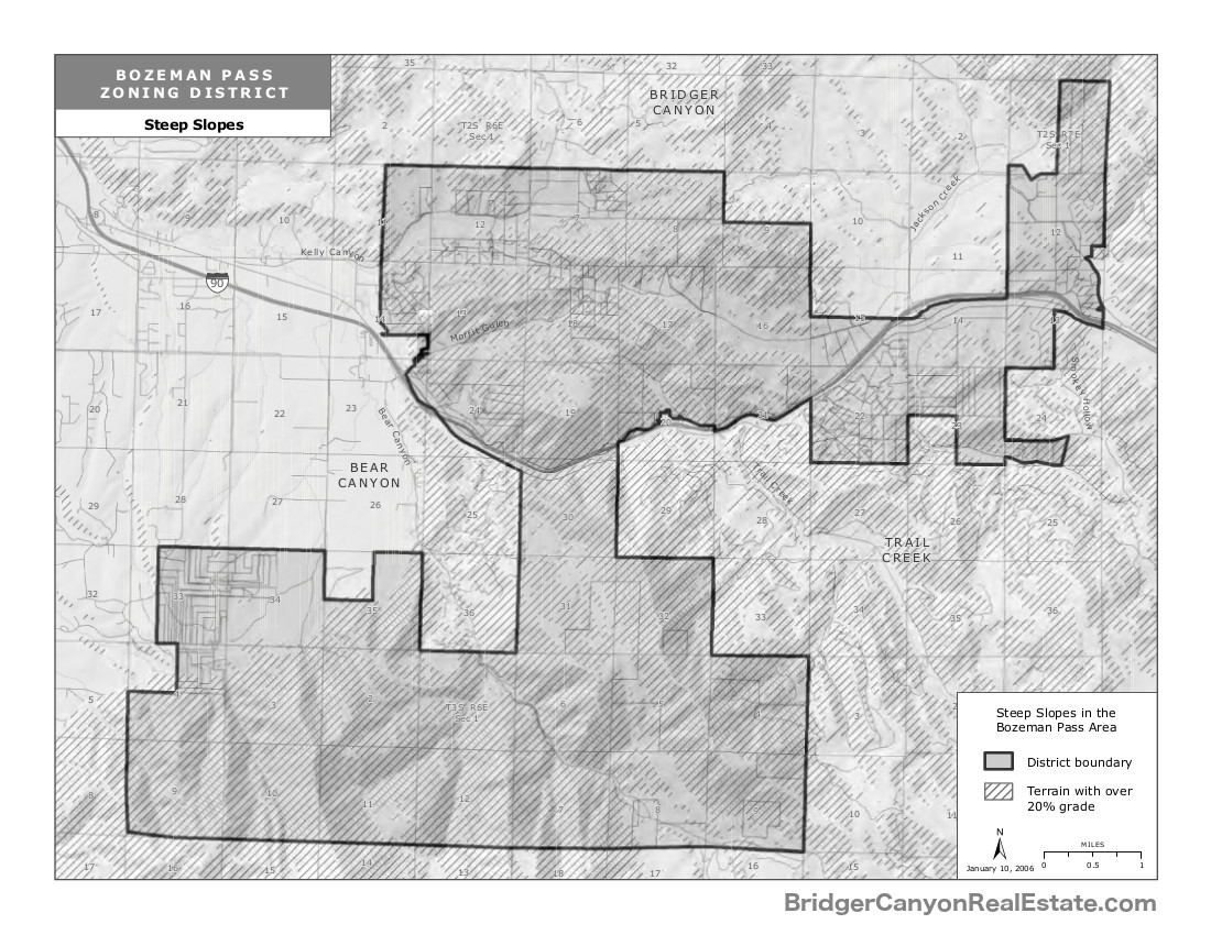
The Bozeman Pass Zoning District was created in 2002 to for the primary purpose of regulating(preventing) coalbed methane drilling in the area which was an immediate threat at that time. However, the 32,000-acre district (50 square miles) Bozeman Pass Zoning District has the stated general purpose of furthering the health, safety, and general welfare of the people of the District.
Bozeman Pass Zoning District
The Bozeman Pass Zoning District is adjacent to, and south of the Bridger Canyon Zoning District and protects the southern half of Kelly Canyon. The goal of protecting and enhancing the rural residential and agricultural character of the Bozeman Pass area will be protected and maintained through the following implementing objectives:
- Maintaining or enhancing the quantity and quality of ground and surface waters;
- Maintaining open space and scenic views;
- Sustaining wildlife habitat and migration;
- Preserving and enhancing fish habitats;
- Maintaining the night sky visibility and low noise levels of the area;
- Controlling noxious weeds.
The goal of protecting and enhancing the character and freedoms associated with living in a rural area will be protected and maintained through the following implementing objectives:
- Ensuring that land use maintains rural character, wildlife, open space, and agriculture;
- Respecting property rights while ensuring that land use remains compatible with existing uses;
- Protecting landowners from industrial and commercial development that is inconsistent with the character of the area;
- Protecting landowners from the impacts associated with oil and gas development and mining;
- Conserving property values;
- Ensuring that residential development is consistent with existing residential uses;
- Encouraging agricultural uses.
and
General development standards were adopted and are applicable throughout the District. These standards are intended and designed to respect property rights, assure compatibility of uses, protect the environment, protect the rural residential and agricultural character of the District and to enhance the public health, safety and general welfare of District residents and the County by planning for and guiding future growth. These standards supplement the specific sub- district provisions set forth in these Regulations and apply to any and all conditional uses.
These development standards were set up as ZONING SUB-DISTRICT PROVISIONS of:
- Agricultural and Rural Residential Sub-District (AR40): 40-Acre Density
- Agricultural and Rural Residential Sub-District (AR80): 80 Acre Density
- Public Lands Sub-District (PL640): 640-Acre Density
Category : Bridger Canyon Information